Day7-9 @Kanagawa and Fuji
Day7: Visit to Fujitsu Kawasaki laboratories, Mt. Fuji Research Institute
Day7: Visit to Fujitsu Kawasaki laboratories, Mt. Fuji Research Institute

 |
[富士通川崎研究所のロビーにてGroup photo]
[At Fujitsu Kawasaki Laboratories, where new technologies are being created]
|
We visited Fujitsu Kawasaki Laboratories on day 7. At
this location, we saw many gadgets filled with new technologies. As the
performances of the super computer increase, we are able to handle more complex
data and analyse them more deeply.
 |
[富士山科学研究所にて、富士山の形成史や溶岩の特徴などについての講義を受ける学生たち]
[At Mt. Fuji Research Institute, lectures on history and characteristics of Mt. Fuji.]
|
Before climbing up the Mt. Fuji, it is important to
understand its formation and tectonic settings. At Mt. Fuji Research Institute,
we attended several lectures on history and characteristics of Mt. Fuji.
 |
[溶岩が流れる道筋について富士山科学研究所の研究者と議論する学生達]
[students and researchers discussing the pathways of lava flow]
|
The direction of lava flow is heavily dependent on the
topography. We used a detailed map with the topography of Mt. Fuji and shampoo liquid
to imitate the behaviour of the lava flow.
Day8: Mt. Fuji world heritage centre, Funatsu Tainai
cave, Saiko Komoriana cave, Jiraginno Aokigahara Lava Flow
 |
[富士山世界遺産センターにて、富士山の文化的な面を学ぶ]
[At Mt. Fuji world heritage centre, we studied about the cultural aspect of Mt. Fuji]
|
We visited this newly built Mt. Fuji world heritage
centre. Inside of this facility, there’s a 15m wide Mt. Fuji model which is entirely
covered with the Japanese paper. Here we learnt about the religious and
cultural aspects of Mt. Fuji.
 |
[テンションの高い畑中さん]
[Some of the students got quite excited.]
|
 |
[溶岩樹型の中に実際に入り、中を見学]
[The Lava Tree Mold near Mt. Fuji world heritage centre]
|
Here, we entered a Lava Tree Mold which is a hole that
was created by the tree which the lava flowed around.
 |
[船津胎内樹型にて、学生たち]
[At Funatsu Tainai Lava Tree Mold]
|
We had to crouch with our knees to our chest to go
inside the Funatsu Tainai Lava Tree Mold which is roughly 70 m series of caves
at the northern side of the Mt. Fuji.
 |
[西湖コウモリ穴にて、学生達とディスカッションする横山先生]
[The Komoriana cave. Prof. Yokoyama giving us a lecture of the theories of the formation of this cave]
|
Day9: Climb up Mt. Hoei, Visit Fisheries Laboratory U Tokyo
 |
[宝永火口付近にて、Group photo、そろそろかなり仲良くなってきた感]
[Near the Mt. Hoei, group photo]
|
Finally, we climbed up the Mt. Fuji on day 9. Mostly
it was cloudy, but we saw some blue skies from time to time.
 |
[宝永火口付近に着弾していた火山弾]
[Volcanic bomb near the Mt. Hoei eruption site]
|
This huge volcanic bomb was shot from the eruption
site of Mt. Hoei. The rock was half melt and half solid when it was ejected,
but soon it got cooled and solidified while it was traveling. We were able to
see the evidence of cooling processes of this volcanic bomb very well from this
sample.
 |
[宝永山頂を目指す学生達]
[students climbing up the mountain]
|
Although it was relatively a short walk, this was
already 2000m above the ground with thin air and we had to walk on a sandy week
road which consumed quite a lot of energy to climb.
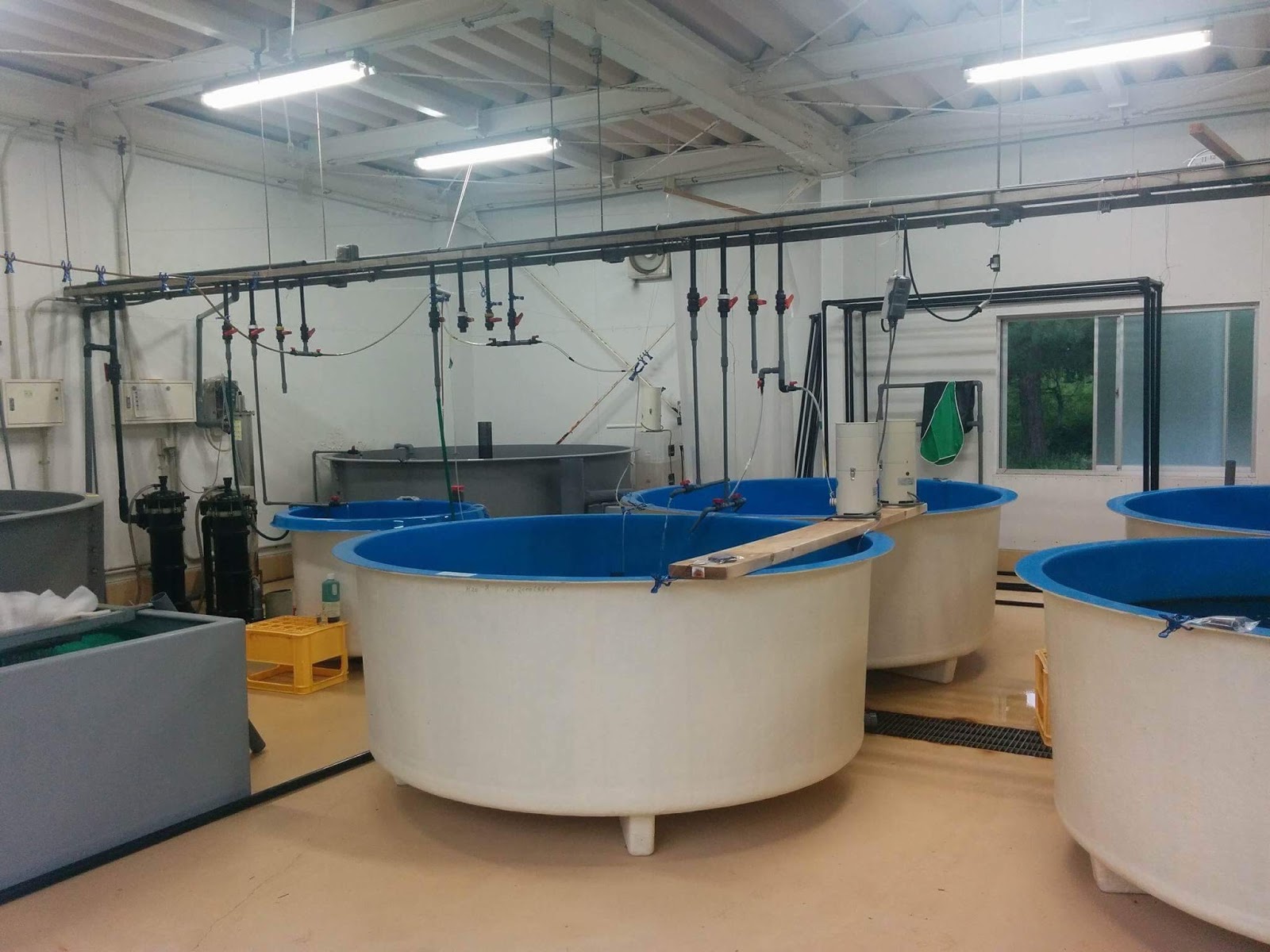 |
[東京大学水産実験場にて、フグのいけす]
[Fisheries Laboratory of U Tokyo]
|
At the Fisheries Laboratory of U Tokyo, we had a
lecture on the research projects of doctors at this location. We also saw some
fish tanks filled with puffer fish.
 |
[富士登山でクタクタだった学生達も急に元気に、浜名湖からの夕日がとても綺麗でした。]
[sunset from Hamana lake]
|
Although we were all exhausted from the mountain
climbing, seeing the beautiful sunset from Hamana lake was a perfect ending of
this day.
Day10 @Enshu region Visit Arai Checkpoint (Arai-no-Sekisho), Otagawa lowland, Minato inochi-yama, Nakashinden inochi-yama
Day10 @Enshu region Visit Arai Checkpoint (Arai-no-Sekisho), Otagawa lowland, Minato inochi-yama, Nakashinden inochi-yama
 |
[新居の関所にて、Group photo]
[Group photo at Arai-no-Sekisho]
|
At Arai-no-Sekisho, we saw a security check point that
was used to check the traveller’s identity during the Edo period. This checkpoint
was destroyed by the earthquake and tsunami several times, and had to be
reconstructed again and again.
 |
[太田川低地にて、河川敷を歩く学生達]
[At Otagawa plane, students walking near the river bank]
|
At Otagawa plane, we walked down the river bank to get
to see the outcrop where we can see the tsunami deposits from the past.
 |
[太田川低地にて、過去の津波堆積物を見学、オレンジ色の線は一度の地震で押し寄せた津波の回数に相当する。]
[Tsunami Deposit of Otagawa river bank]
|
At this location, we saw some tsunami deposits
indicating the past tsunami events. The red/orange layers reflect the number of
tsunami struck in one earthquake event.